Kwelder (Salt Marshes) Schiermonnikoog
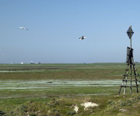
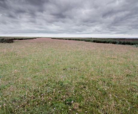
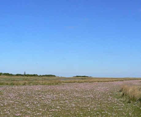
The Salt Marshes of National Park Schiermonnikoog are situated on the Eastside of the island. Due to the openness of the salt marshes it is very exposed the natural elements, particularly the wind. During high tides most of the salt marshes are under water.
Silt and gulley’s
Salt marshes form when mudflats are raised to the level of the average high tide, during high tide the sea deposits algae, other plants and a special type of fine sediment these areas of fine sediment are referred to as mud flats.
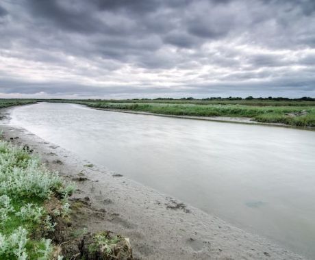
Deep gulleys cut through the salt marsh to drain the sea and rain water, the salt marsh has a natural transition from salt to fresh water.
Pioneer plants
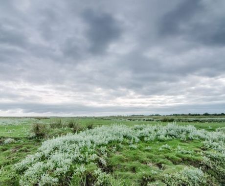
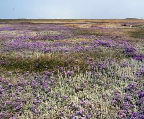
In the areas of the salt marsh that are flooded daily by the sea water plant such as samphire and mud grass grow; these are also called salt-loving pioneer plants. The parts of the salt marsh that only flood during extreme high tide will grow plants such as sea lavender and English grass.
The large salt marsh on the Eastside of the island largely originated after 1850. Some of the current farm lands used to be poart of the salt marshes. Due to the build of the grassy sea wall this part of the salt mash turned in to a fresh water area and became very much suitable for agriculture. Up until 1964 the Westside of the island also had salt marshes, however further sea walls were built and again thisled to the area turning in to a fresh water nature reserve. A small area between the tidal marina and the beach is now developing in to a new salt marsh as this area still floods by the sea water, this area is known on the island as “het Aanwas”
On the Southside of this sea walls is “het Wad” located. “Het Wad” is an area of mudflats. The silty sea floor is rich in food making it the perfect habitat for many fish species, shrimps and crabs.
